Define the Task
Confirm the target, installation location, acquisition frequency and outputs.
PRODUCT / YGGP-WatMon1
A lightweight drone payload uses BeiDou positioning and GIS to map water-quality distribution and revisit anomalous areas.
Product Enquiry ↗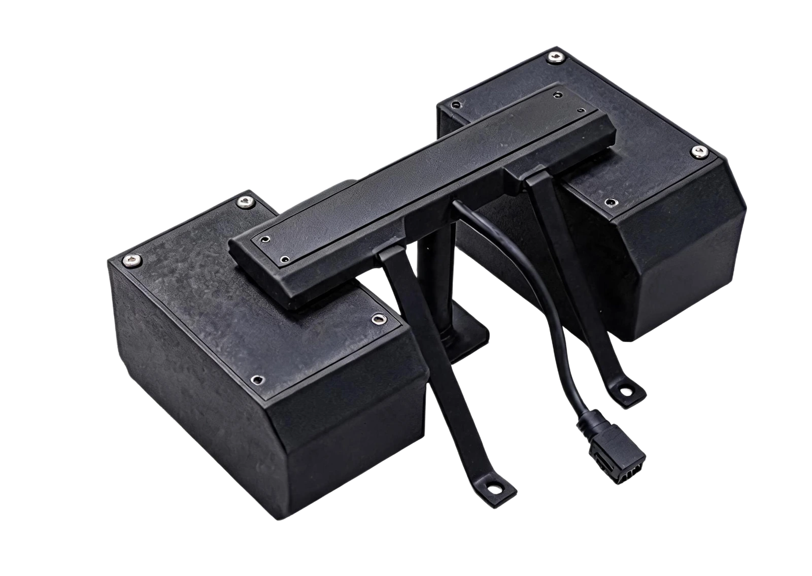
SPECIFICATIONS
Source: Product and Application Handbook, page 10. Appearance, specifications, optional modules and interfaces follow the agreed technical solution.
DEPLOYMENT
Confirm the target, installation location, acquisition frequency and outputs.
Match modules to illumination, power, communication, platform and maintenance conditions.
Spectral water-quality estimates use project samples and model inversion, validated through reference tests and field samples.
Agree on acceptance criteria, alert rules, data retention and maintenance.
CONTACT
Contact us for product selection, development
and project collaboration.
266 Fangzheng Avenue, High-tech Park, Liangjiang New Area, Chongqing, China
Zhongke Yaoguang (Chongqing) Optoelectronics Technology Co., Ltd.